
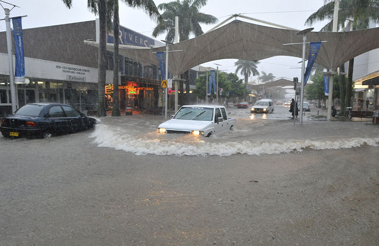
A COMPREHENSIVE study of the Coffs Creek floodplain – including a prioritised list of potential measures to further mitigate flood risk – has been endorsed by City of Coffs Harbour Council.
At its meeting on 19 June, Council resolved to back the Coffs Creek Floodplain Risk Management Study and Plan which was placed on public exhibition in January and was jointly funded by the City and the NSW Government.
“This massive piece of work has improved our understanding of flood behaviour in the Coffs Creek Catchment and looks at the impacts of flooding on the community and recommends actions to reduce flood risk and damage,” Mayor Nikki Williams said.
“The information from the study will be used by the State Emergency Service (SES) during flood emergencies and assist the City in managing development in areas that are at risk of flooding, as well as informing flood mitigation efforts.”
The Floodplain Risk Management Study and Plan investigated a balanced mix of management measures and strategies to reduce the impacts of flooding, and inform future flood mitigation efforts.
These include (subject to feasibility and funding):
● Upgrade the Bennetts Rd detention basin
● Finch Crescent embankment removal
● Revise the City’s Development Control Plan
● Ongoing flood awareness campaigns and provision of flood information
● Improve flood warning systems
Minor amendments were made to the Study following feedback during the public exhibition period.
One of two submissions raised dredging of Coffs Creek, however the City believes this is more appropriately considered in the Central Coffs Coastal Management Program.
City Planning and Communities Acting Director Ian Fitzgibbon said while the four detention basins had been working well, the flood event in May this year was minor compared to what was experienced to the south of Coffs – in the Nambucca, Macleay, Hastings and Manning River catchments.
“It is estimated the May flood event in Coffs Harbour was roughly a 1-in-2 to 1-in-10 chance per year event dependent on location, so it was considered a relatively frequent event,” Mr Fitzgibbon said.
“At their peak, the detention basins within Coffs Creek were about five to 20 percent full, which played a part in reducing peak flood flows and levels within Coffs Creek.
“The basins were designed to reduce peak flood flows up to a 1-in-100 chance per year flood event, however it should be noted they were not designed to completely stop flooding but rather to reduce how often floods occur, how severe they are, and their overall impact.”