
Share via:
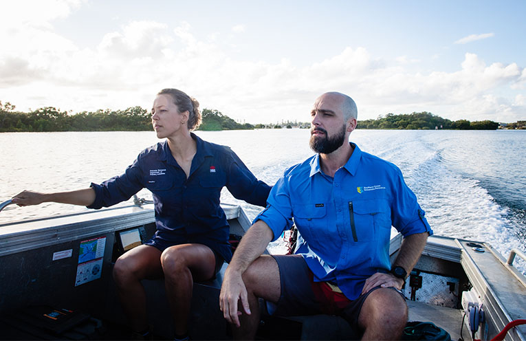
A MAJOR study of NSW estuaries using a novel technique called eDNA, has created the first biodiversity map of river mouths and coastal tributaries along a 1000 kilometre stretch of coastline.
The study, led by Southern Cross University (SCU), was funded through the Riparian Stabilisation Package of the NSW Estuary Asset Protection Program (NEAP).
Lead investigator Dr Maarten De Brauwer, who is based at SCU’s National Marine Science Centre in Coffs Harbour, said the data paints a fascinating picture of the species living in and around NSW coastal tributaries, including birds, worms, plants, fish, sharks and invasive pests.
“The data revealed the location of 68 invasive pest species in various rivers, including aquatic weeds, algae and even cane toads further south than previously thought.”
Dr De Brauwer said the project provided much-needed baseline data for managing critical ecosystems.
“This data can show what is actually happening to our biodiversity in estuaries following disasters like floods and bushfires.
“It can inform management agencies, biosecurity responses and help the ranger network manage these complex and dynamic systems after major disasters to support species recovery.”
This baseline is already being put to the test.
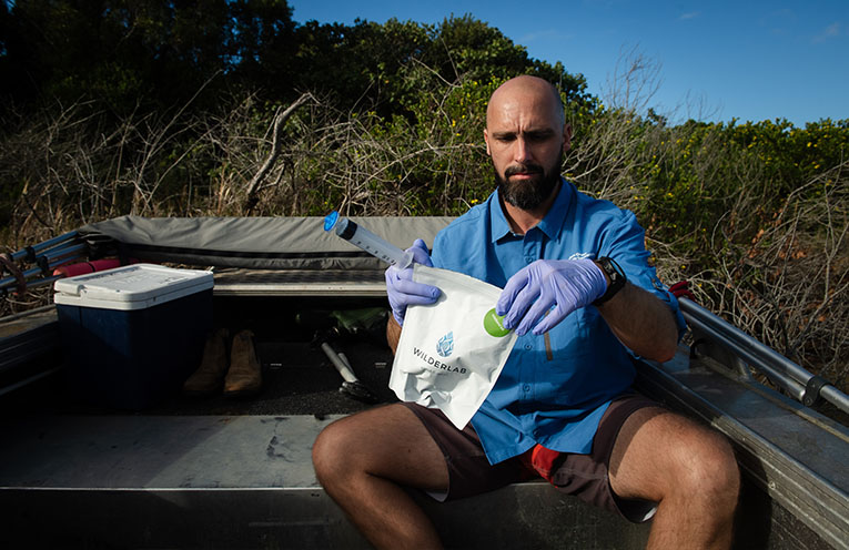
Dr De Brauwer’s team recently returned to sample sites following Tropical Cyclone Alfred and the extreme rain events of March.
This will be a valuable addition to the current mapping, which includes more than 7000 species.
The data is represented in an interactive map on the website of the lab that completed the DNA analysis, Wilderlab.
Some of the sample sites produced surprising results.
“We found water buffalo DNA in the Richmond River, very far from where you would expect to find it.
“When we went to look for the source, we found a horse trainer along the river was using four water buffaloes named Bob, Ben, Bill and Bruce to train horses, which explained it.”
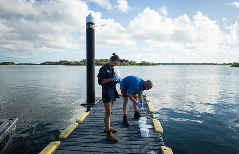
Department of Primary Industries and Regional Development (DPIRD) Fisheries Technician Kait Harris, said estuaries – the middle ground between the ocean and rivers – do not have recent statewide biodiversity baselines.
“This data is very valuable to understand how we manage them, particularly in challenging circumstances like natural disasters.
“When we are sampling, people are really interested in what we are doing.
“Everyone in the community uses estuaries for recreational fishing, swimming, or even work.
“It’s a very visible ecosystem that can be heavily impacted by natural disasters.”
Indigenous ranger groups have been important partners in the project, helping to collect samples and contributing local knowledge about sample sites.
By Andrea FERRARI
You can help your local paper.
Make a small once-off, or (if you can) a regular donation.
We are an independent family owned business and our newspapers are free to collect and our news stories are free online.
Help support us into the future.
Share via: