
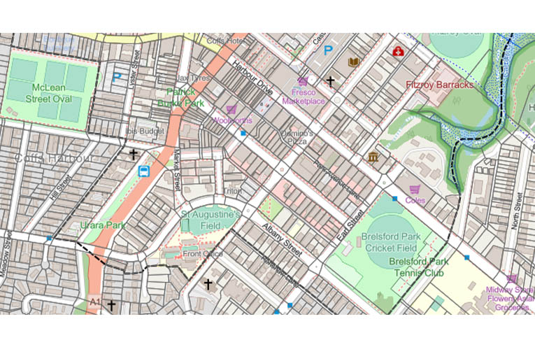
CITY of Coffs Harbour is now working to “digitise and align” its legacy planning maps.
Two years ago the NSW Government implemented a new suite of land use zones (known as Employment Zones) which replaced the existing business and industrial categories in all local environmental plans in NSW, including the Coffs Harbour Local Environmental Plan (LEP) 2013.
At this time, the Land Zoning Map and Additional Permitted Uses Map contained within the Coffs LEP were replaced in their entirety and transitioned from PDF to digital maps.
These revised maps align with the State Cadastre – a digital representation of all land parcel and property boundaries in NSW – utilised by the State Government.
At its 24 July meeting, Council resolved to submit an expedited Local Environmental Plan amendment to the NSW Department of Planning to transition the City’s remaining PDF maps in the Coffs LEP to digital format.
“As part of this process the City will also seek an associated amendment to the Coffs Harbour Development Control Plan 2015 to align with the digital mapping and State Cadastre,” Mayor Nikki Williams said.
“This will be placed on public exhibition for feedback and will be reported back to Council if there are submissions objecting to the proposal.”
City Planning and Communities Acting Director Ian Fitzgibbon said the current mix of digital and PDF maps meant there were some boundary misalignments between the two.
“By transitioning these remaining PDF maps to digital – based on a single cadastral source of truth – we’ll achieve absolute boundary alignments,” Mr Fitzgibbon said.
“This will deliver a range of benefits, including better management of users’ requests for planning information plus alignment with the NSW Planning Portal Spatial Viewer.”